Places of interest detailed in our guide
 Airport
 Attraction
 Balmoral Castle Battersea Power Station Big Ben and the Palace of Westminster Blair Castle Borough Market British Museum Buckingham Palace Celtic Park Stadium Cutty Sark Dunnottar Castle Edinburgh Castle Eilean Donan Castle Frameless Glamis Castle Hampden Park, Scotland’s national football stadium Harry Potter Studio Highclere Castle, the real Downton Abbey HMS Belfast Hyde Park IFS Cloud Cable Car, the Thames cable car Kensington Palace Kew Gardens London Dungeon London Eye London Transport Museum London Zoo Madame Tussauds, London’s wax museum Mary King’s Close National Gallery Natural History Museum O2 Arena Palace of Holyroodhouse Regent’s Park Rosslyn Chapel Royal Observatory Greenwich SEA LIFE London Aquarium Shakespeare’s Globe Theatre Sherlock Holmes Museum Sky Garden St Paul’s Cathedral Stonehenge Tate Britain Tate Modern The Shard Tower Bridge Tower of London Victoria and Albert Museum Westminster Abbey Windsor Castle
 Citta
Citta Island
 Nazione
 Landscape
 District
 Region
 Stadium
 Street / Square
 Village
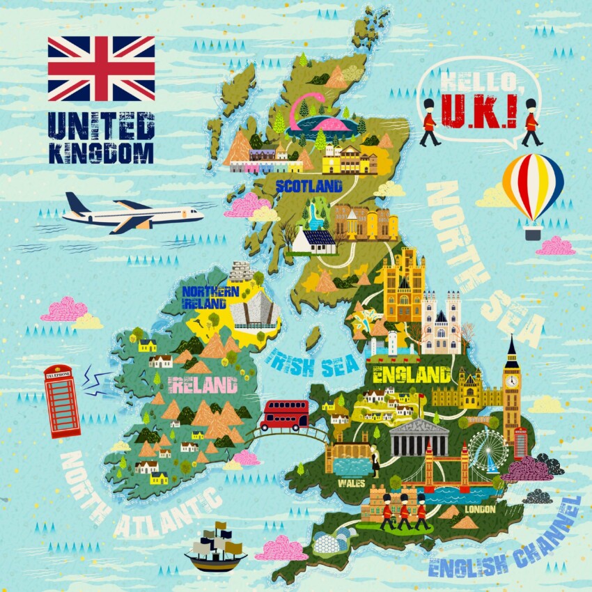
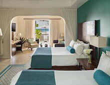 Hotel
Hotel  Budget accommodations
  Apartments
  Family Hotel
 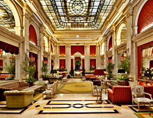 Luxury Hotel