
Bestseller
From Edinburgh: Loch Ness, Glencoe & Scottish Highlands Tour
From 64,26 €
Buy the ticket
Scotland is not particularly renowned for its mountains. But when you come face to face with Ben Nevis, the highest peak in the country and across the entire island of Great Britain, you may well change your mind. Located at the western edge of the Grampian Mountains, near the town of Fort William, its summit rises to an altitude of 1,345 metres. Though not among Europe’s highest peaks, it remains unmissable for mountaineering enthusiasts and hill walkers alike, as it boasts some of the UK’s most impressive rock faces, with climbing routes and trails of varying difficulty.
Known colloquially as “The Ben”, Ben Nevis forms an imposing massif that also encompasses another mountain, Carn Mòr Dearg, connected via the Carn Mòr Dearg Arête pass. Besides its main summit, the mountain has two other minor peaks, both named Carn Dearg, standing at 1,221 metres and 1,020 metres respectively.
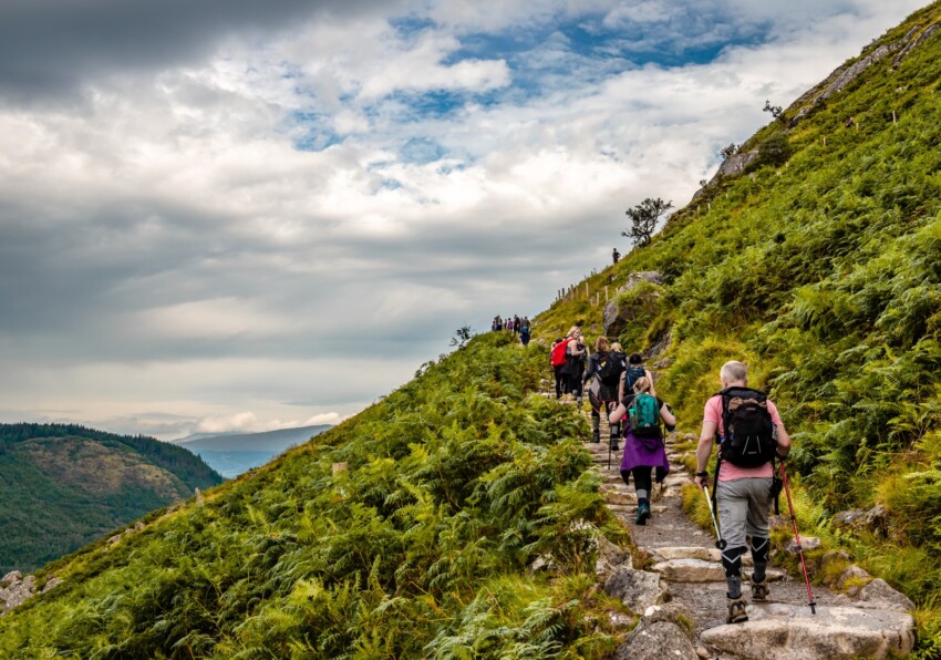
Approximately 100,000 climbers and mountain enthusiasts tackle the ascent of Ben Nevis each year, with many following the Pony Track, which departs from Glen Nevis on the southern side and is by far the easiest and most popular route to the summit. It’s also known as the Ben Path, Mountain Path or Tourist Route. To be precise, the Pony Track starts at Achintee, two kilometres from Fort William, and climbs alongside Lochan Meall up to 570 metres. From there, the remaining 700 metres zigzag up the western flank of Ben Nevis.
A far less frequented route follows the Allt a’Mhuilinn stream, starting from the village of Torlundy. This path is considerably more challenging, with an elevation gain of around 1,500 metres, but offers the advantage of spectacular views of Ben Nevis’s northern face, which remains hidden when following the Pony Track.
Other ascents can be made from the Nevis Gorge car park, or from the summit of Carn Dearg. These are shorter routes, though steeper, requiring no climbing experience but certainly suited only to experienced hillwalkers.
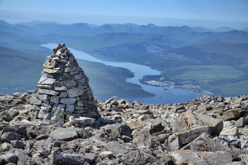
The summit of Ben Nevis comprises an extensive plateau, spanning some 40 hectares. Here stands a memorial dedicated to those who fell in the Second World War, alongside the ruins of a significant astronomical observatory that operated for roughly twenty years around the turn of the 20th century. Today, the building has been partially converted into an emergency shelter, kept open for those caught on the summit by bad weather—a not uncommon occurrence given the highly variable atmospheric conditions caused largely by proximity to the sea and the terrain’s topography.
From the summit of Ben Nevis, when conditions permit, you’ll encounter a magnificent panorama, with a 360-degree vista stretching nearly 200 kilometres. On clear days, you can see much of Scotland and even some mountains in Northern Ireland.
Today, the ascent of Ben Nevis is also the subject of an official competition, known as the Ben Nevis Race, held annually on the first Saturday in September. It accepts a maximum of 500 participants, starting and finishing at Claggan Park football ground in Fort William, covering 16 kilometres with a total elevation gain of 1,340 metres. Runners must carry waterproof clothing, a hat, gloves and a whistle, and anyone failing to reach the summit within two hours must turn back. The current records stand at 1:25:34 for men and 1:43:25 for women.
Ben Nevis is also the name of a whisky distillery, located at the foot of the mountain in Victoria Bridge, a village near Fort William. Founded in 1825, it is one of Scotland’s oldest distilleries and ranks among Fort William’s most significant attractions. The water used in whisky production comes directly from Ben Nevis itself, specifically from a glacial cirque on the northern section.
To see all the facilities and book accommodation in Ben Nevis use the form below, entering the dates of your stay.
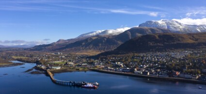
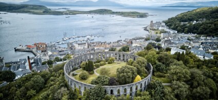
Ben Nevis is located in the Scottish Highlands, not far from the town of Fort William, which overlooks Loch Linnhe, approximately two hours north of Glasgow and Edinburgh.
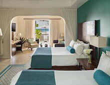 Hotel
Hotel 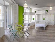 Budget accommodations
 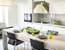 Apartments
  Family Hotel
  Luxury Hotel