London Weather
Discover the best time to visit London based on the climate in each season. Temperatures, daylight hours and average rainfall month by month.

The climate of Great Britain is one of the most misunderstood topics among travellers preparing to visit the country for the first time. Its reputation as a perpetually rainy and grey destination is only partially deserved: the reality is far more nuanced and, above all, enormously variable from region to region. Great Britain extends for approximately 1,000 km from northern Scotland to the southern tip of England, spanning vastly different latitudes, landscapes and maritime influences.
The common thread is temperate oceanic climate, shaped by the Gulf Stream, which moderates temperatures compared to other regions at the same latitude — Moscow and Copenhagen sit at the same latitude as London, yet Britain’s climate is considerably milder. Rainfall is frequent everywhere, but the differences between east and west, north and south, lowlands and mountains are enormous: annual precipitation ranges from 600 mm on the east English coast to 3,500 mm in the most exposed valleys of the Lake District, and summer averages range from 19°C in London to 12°C in the Shetland Islands.
The most striking characteristic of British weather is its unpredictability: conditions can change dramatically within a few hours, and it’s not uncommon to experience sunshine, rain and wind all within the same hours, yet just kilometres apart. Travellers in Great Britain quickly learn the golden rule: dress in layers and always carry a waterproof jacket, regardless of season or location.
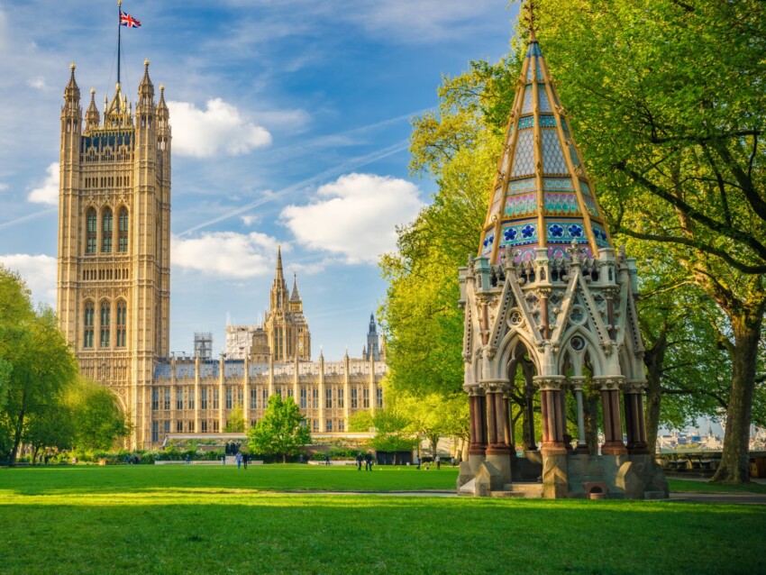
Southern England enjoys the most favourable climate in all of Great Britain. London and its surrounding region experience relatively warm summers and mild winters, with average temperatures rarely dropping below 5°C in January and reaching 18–19°C in July. The capital is not particularly rainy by British standards: precipitation averages around 600 mm annually, distributed fairly evenly throughout the year, with a slight prevalence in autumn.
Sunny days are relatively frequent from May through August, and in the warmest months it’s not unusual for temperatures to reach 25–28°C. Summer heatwaves have become more frequent in recent decades: in July 2022, London recorded temperatures exceeding 40°C for the first time in history — an exceptional event that challenged many assumptions about the mildness of Britain’s climate. In winter, snow is rare: on average, London experiences snow on only 3–5 days per year, and it rarely accumulates significantly.
The southern coast — from Brighton to Southampton, taking in Kent and East Sussex — enjoys more sunshine hours than the inland areas and benefits from the warmth of the English Channel, which reaches 17–18°C in August. It’s the sunniest region in the country, with around 1,800 hours of sunshine annually, almost comparable to certain northern Italian areas. Coastal rainfall is moderate, around 700–800 mm per year.
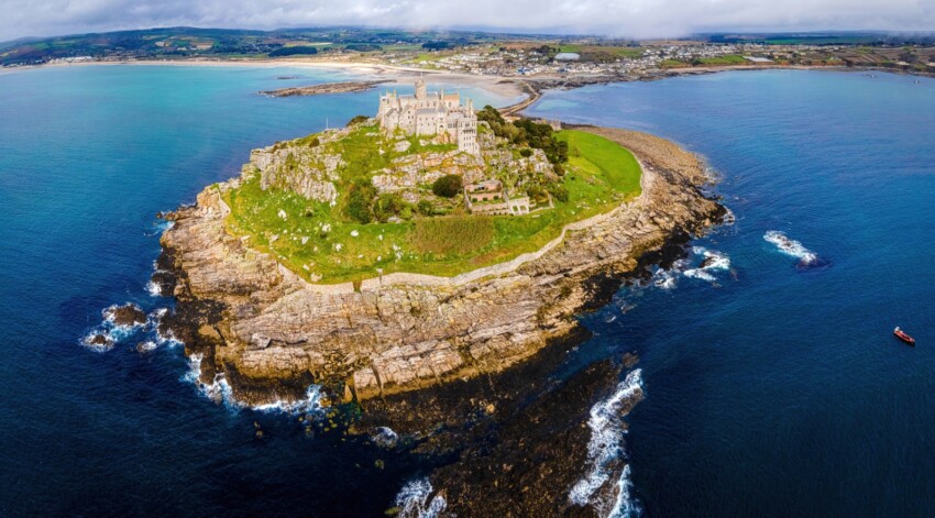
Cornwall and Devon present England’s most distinctive climate. Thanks to their position jutting into the Atlantic Ocean and the direct influence of the Gulf Stream, this region enjoys the mildest winters in all of Great Britain: average January temperatures hover around 7–8°C, two or three degrees warmer than London. It’s not uncommon for subtropical plants like palms and agapanthus to flourish outdoors in Cornwall, plants that wouldn’t survive elsewhere in the country.
Summers are cool but pleasant, with highs around 18–20°C. The sea, despite Gulf Stream influence, remains cool: water temperatures reach 17°C in August in the English Channel, the warmest across Great Britain. The downside is rainfall: Plymouth receives approximately 1,000 mm of rain per year, among the highest values in southern England. Atlantic winds are frequent and strong, and winter storms can be spectacular but also challenging for visitors to the coast.
The best time to visit the south-west is late spring and early summer (May–July), when rainfall is relatively moderate, temperatures pleasant and daylight hours very long. August is the busiest month, but also the one with the highest likelihood of intermittent rain.
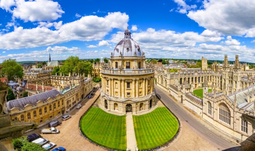
The Midlands and central England — the band including Birmingham, Leicester, Nottingham and the areas around Oxford and Cambridge — have a more “continental” climate than coastal areas, with slightly warmer summers and slightly colder winters. London can be even warmer in summer, but the Midlands experience more pronounced seasonal temperature variations.
Rainfall varies significantly from west to east: western areas (Birmingham, Worcester) receive around 700–800 mm annually, whilst the east (Cambridge, Norfolk) drops below 600 mm, making it one of the driest corners of entire Great Britain. The Cambridge area even has a drier climate than certain eastern Mediterranean locations during summer months. Snowfall is more likely in the Midlands than in the south, but rarely persistent.
Autumn mists are a typical climatic feature of the Midlands, particularly in river valleys and western plains. From October to December, misty mornings are frequent and can persist for hours before lifting. A phenomenon that contributes to the perception of autumnal greyness that many travellers associate with England.
Northern England — encompassing Yorkshire, Cumbria, Lancashire, Northumberland and the cities of Liverpool, Manchester and Newcastle — has a cooler, wetter climate than the south, with significant differences between the western and eastern slopes.
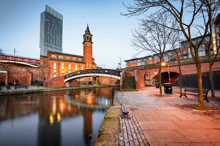
The western coast, exposed directly to Atlantic weather systems, is considerably wetter: Manchester receives approximately 800 mm of rain per year over 141 rainy days, and its reputation as a rainy city is well deserved. Liverpool faces the same situation. The eastern coast (Newcastle, Sunderland, Middlesbrough) is drier, with around 600–650 mm annually, thanks to the shielding effect of the Pennines which intercept some of the Atlantic disturbances.
The Lake District in Cumbria merits separate discussion: it’s England’s wettest region, thanks to the combination of mountains (Scafell Pike reaches 978 m) and exposure to Atlantic winds. Seathwaite, the wettest inhabited place in England, records approximately 3,550 mm of rainfall annually, comparable to tropical climate figures. Sprinkling Tarn, a small lake at 600 metres elevation, even exceeds 5,000 mm per year. Paradoxically, this abundance of water creates the landscape of lakes, waterfalls and green valleys that makes the region one of the country’s most cherished tourist destinations.
Summer temperatures in northern England average around 15–17°C, with January between 3 and 5°C. Snowfall is more frequent than in the south, particularly in the Pennine hills and Lake District, where snow cover can last for weeks.
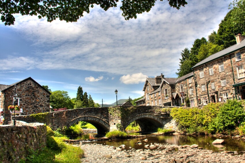
Wales shares much of the climatic character of western England, but with some important distinctions. Its exposure to the Atlantic on its western flank makes it one of the wettest countries in the United Kingdom, with average precipitation exceeding that of neighbouring England. The mountain ranges of the centre-north — with Snowdon (1,085 m) in Snowdonia National Park and the Cambrian Mountains in the centre — force damp Atlantic air masses upward, triggering abundant precipitation on westward-facing slopes.
The Welsh coast, particularly the western and northern sections, is exposed to strong winds and gales, especially in autumn and winter. Cardiff, the capital, has a relatively mild climate thanks to its southern coastal position: average winter temperatures hover around 5–6°C in January and reach 18–19°C in July, figures similar to London. Rainfall in Cardiff averages around 1,100 mm annually, more abundant than in the English capital.
The mountainous interior of Wales records precipitation easily exceeding 2,000–3,000 mm annually in certain valleys, with colder winter temperatures and frequent mists. The best time to visit Wales is late spring and summer (May–August), when the chances of sunshine are greatest and long days allow you to make the most of the coastal scenery and nature reserves.
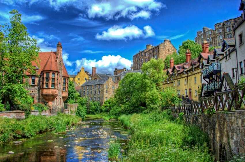
The Scottish Lowlands — the flat and rolling belt that stretches across Scotland from east to west, including the country’s two major cities — experience a cooler, more humid oceanic climate than England. Edinburgh, on the eastern coast, is the drier of the two cities: precipitation averages around 650–700 mm annually, winds are frequent but direct rainfall less abundant than its reputation suggests. Average temperature varies from 4°C in January to 15°C in July.
Glasgow, on the western coast, is considerably wetter: precipitation exceeds 1,100 mm annually, with rain frequent in every season. The Scottish saying that in Glasgow you experience “four seasons in one day” is particularly apt for this city. Temperatures are slightly milder than Edinburgh thanks to oceanic influence, with similar averages: around 4°C in January and 15°C in July.
Both cities receive less than 1,500 hours of sunshine per year, with May and June generally the sunniest months. The Scottish summer is short but offers the advantage of very long days: in June and July the sun sets around 22:00, providing bright evenings that offset the coolness of the temperatures.
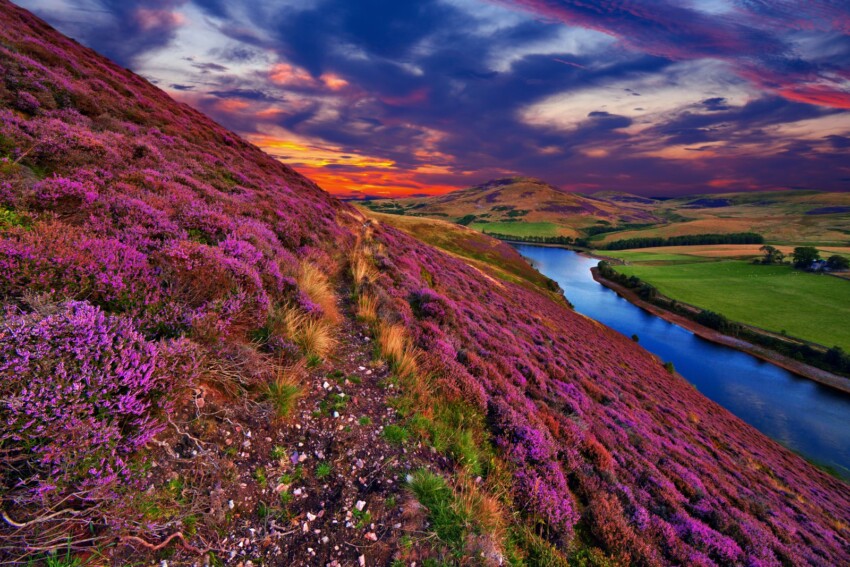
The Scottish Highlands represent Great Britain’s most climatically extreme environment. The mountainous terrain — with Ben Nevis reaching 1,344 m, the country’s highest peak — combined with full exposure to Atlantic weather systems, creates conditions of cold, rain, wind and snow with no equivalent elsewhere on the island.
Precipitation on the western slope of the Highlands easily exceeds 1,500–2,000 mm annually, with around 200 rainy days per year in many locations — more than one every two days. Fort William, at the foot of Ben Nevis, ranks among Britain’s wettest cities. The snowfall record on Ben Nevis’s summit is impressive: the northern slope often hosts lingering snow patches into late spring or even summer. On Mount Cairn Gorm (1,245 m), which has a ski resort, average temperature drops below freezing from November to March, and wind can exceed 200 km/h during the most severe storms.
The eastern slope of the Highlands is drier thanks to orographic rain shadow effect, which dumps moisture on the Atlantic slope: Inverness, the “capital” of the Highlands, receives approximately 650 mm annually, relatively little by Scottish standards. The region around Loch Ness and Glen More is characterised by frequent mists in the valleys, particularly in autumn and winter.
Summer in the Highlands (June–August) is the best season for hiking: temperatures range between 12 and 17°C in the valleys, daylight hours are extremely long (at midsummer the sky never becomes completely dark in northern Scotland) and the landscape offers extraordinary golden light for photography. It’s also the season of midges — tiny, extremely bothersome local insects — worth bearing in mind especially in wooded areas and near lochs.
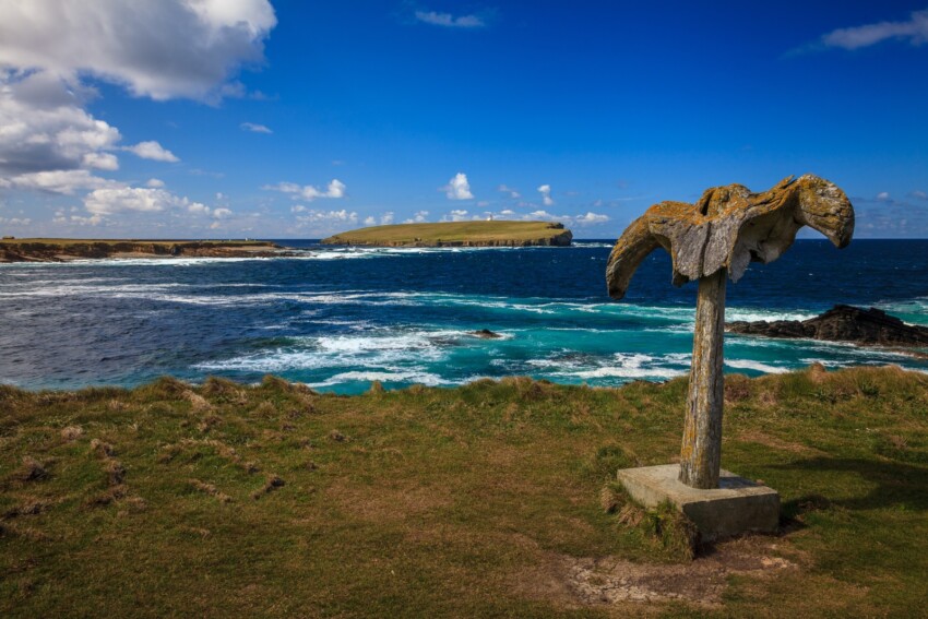
The islands off Scotland’s coast represent a particularly distinctive climate, quite unlike anything found in temperate Europe. Orkney, Shetland and the Hebrides are rugged territories, battered by wind for much of the year, with weather variability that can bring sunshine, rain, hail and wind within the same day.
The most striking feature is that, despite the high latitude (Shetland lies at the same latitude as Bergen, Norway), the climate remains relatively mild thanks to the Gulf Stream: average temperatures in January on Shetland are just 4°C, not dramatically cold for the latitude. The real challenge isn’t so much the cold as the persistent wind and frequent rainfall: the islands receive between 1,000 and 2,000 mm of rain annually, and days without noticeable wind are a rarity.
In summer, Shetland experiences an extraordinary phenomenon known as the “simmer dim”: during the weeks around the summer solstice (21 June), the sun never fully sets, and the sky remains illuminated throughout the night with diffuse twilight. At midsummer, Shetland has approximately four hours more daylight than London. Conversely, in winter the days are exceptionally short: in December there are barely 6 hours of daylight, and the landscape is almost always dominated by low clouds and wind.
The Hebridean islands — divided into the Inner Hebrides (Skye, Mull, Islay) and the Outer Hebrides (Lewis, Harris, Uist) — have a slightly milder climate than Orkney and Shetland, with the Isle of Skye renowned for a microclimate that creates lush landscapes despite frequent rainfall. Precipitation on Skye exceeds 1,500 mm annually, but it is precisely this abundance of water that nurtures waterfalls, peatlands and dense vegetation, making it one of Britain’s most treasured natural destinations.
Despite regional variations, some general observations about British seasons apply across the country. Spring (March–May) brings progressively longer days, awakening nature and rising temperatures, though winter disturbances and late snowfalls in the north are still possible in March. April tends to be drier than March in eastern areas. May and June are considered the best months by many travellers: the days are exceptionally long, rainfall is relatively limited and the countryside is lush and in bloom.
Summer (July–August) is the warmest season with the most sunshine, though afternoon thunderstorms are more likely, particularly in the south. Summer temperatures are pleasant for tourism, but rarely hot enough to feel oppressive. Autumn (September–November) brings the finest colours to British woodlands, especially in the Highlands and national parks, but also increasingly frequent rainfall and autumn storms, particularly in the north and west.
Winter (December–February) is the darkest and dampest season, with very short days in the north. It’s not necessarily a season to avoid: British cities come alive with Christmas markets, snow-covered mountain landscapes are extraordinary, and tourist crowds are minimal. Those visiting Edinburgh for the Hogmanay New Year celebration — Europe’s largest New Year event — should expect temperatures around 3–5°C and a high likelihood of rain or snow.
The golden rule for visiting Britain is layering: regardless of season, it’s always wise to carry a light jacket, a jumper and a waterproof coat. Summer afternoons in London might call for a t-shirt, but an evening chill always arrives sooner than expected. In the Highlands and islands, even in high summer, a waterproof jacket is essential for any outdoor excursion.
Weather forecasts in Britain are reliable over the short term (1–2 days) thanks to the Met Office, but beyond 3–4 days, atmospheric variability makes any prediction unreliable. Checking the forecast the evening before each leg of your journey is good practice. For those driving in the Highlands in winter, the Transport Scotland website provides real-time updates on road closures due to snow.
For exploring Scotland by car hire, it’s advisable to select a vehicle suitable for country roads and always check weather conditions before tackling the more remote routes in the Highlands and islands, where conditions can change rapidly and roads can become impassable with snow or ice.


 Hotel
Hotel  Budget accommodations
  Apartments
  Family Hotel
  Luxury Hotel